Main Activities & Principal Tasks
Our principal tasks
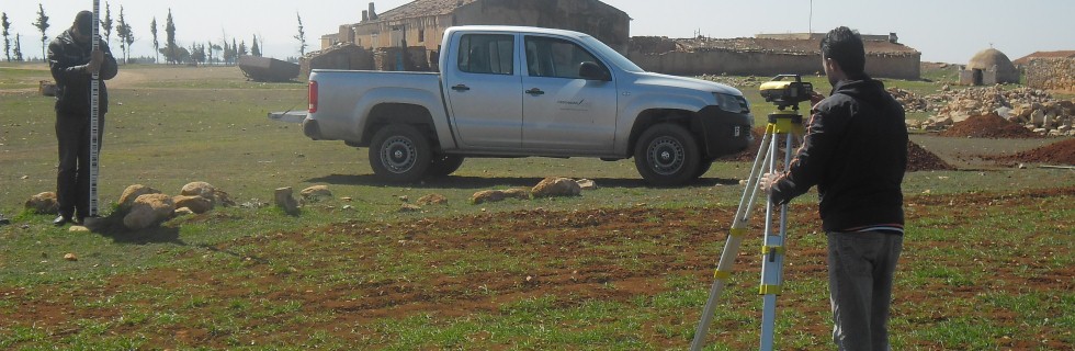
Topography
- Land surveying and topography
- Technical and Engineering surveying
- GPS measurements
- Tunnel surveying-controlling
- Laserscanning (LIDAR) as terrestric and airborne scanning
- Bathymetry measurements
- Geographical Information systems
Geology - Geotechnical
- Field investigation and geological mapping
- Geological survey
- Geotechnical projects, calculations and consulting
- Quality controlling and supervision during the geological works
Hydrology/Hydraulic Studies
- Hydrological calculation
- Hydraulic calculation
- Calculation for positioning of the hydraulic installations
Trackdesign and Calculation for railways and different types of roads
- Calculation and design of railways and roads
- Detailed axe calculation
Static
- Static calculations
- Structural analysis
- Detailed design
Urban and regional planning
- Land use planning
- Zoning plan